
St. Marys Inlet is the ocean gateway for Amelia Island, and Fernandina Harbor Marina and Amelia Island Marina are the two main deepwater access points you can plan around. Most runs from the marinas to the inlet are short, roughly 3 to 5 miles. Before you leave the dock, check the authorized channel depths and the tide.
TL;DR:
- The Intracoastal Waterway’s Reach 1 is authorized to 12 feet at mean lower low water, but shoaling can reduce actual approach depths between dredging cycles.
- Fernandina Harbor Marina offers downtown access and a nearby public ramp, while Amelia Island Marina has a protected basin, fuel, dry storage, and transient slips.
- Before departure, ask the dockmaster for approach depth at low tide, confirm transient policies and fuel hours, and check for shoaling or channel advisories.
- Outgoing tide combined with onshore wind can create steep inlet waves; follow marked channels, monitor VHF, and turn back if conditions look confused.
Table of Contents
- Where can you find deepwater access on Amelia Island?
- How do channel depths affect your draft planning?
- What should you expect at the two main marinas?
- How do you plan a safe run to the inlet?
- Where can kayaks, canoes and trailer boats launch?
- What do USACE dredging updates mean for navigation?
- What boating regulations and permits apply near Amelia Island?
- What safety considerations and navigational aids matter at the inlet?
- How do seasonal weather patterns affect boating conditions?
- How can you protect the environment while boating near Crane Island?
- A resident's view of life with Intracoastal access
- Ready to put a homesite on the Intracoastal?
- FAQ
- Sources
Where can you find deepwater access on Amelia Island?
Amelia Island sits on the Atlantic Intracoastal Waterway, with two full-service marinas and direct ocean access through St. Marys Inlet. Here is the short list.
- Amelia Island Marina: a protected basin with full-service slips, a good fit for longer-stay cruisers.
- Fernandina Harbor Marina: the downtown city marina, with walkable restaurants, visitor services and a welcome center.
- Dee Dee Bartels boat ramp and public launches: the choice for trailered boats and kayaks.
- Intracoastal-connected homesites: a different route to the same water, covered later in this guide.
How do channel depths affect your draft planning?
Federal channel depths are the starting point for any draft calculation. The Atlantic Intracoastal Waterway (AIWW) Reach 1 is authorized to 12 feet at mean lower low water, the datum that approximates the lowest tide levels.
The entrance to Fernandina Harbor has a deeper profile. The U.S. Army Corps of Engineers describes a channel authorized at 46 feet deep from the ocean to the entrance between two stone jetties, then 36 feet, then 28 feet as it works inland. That is a commercial ship channel, and it explains why St. Marys Inlet is the serious gateway to open water.

Authorized depth is not the same as the depth you will find at a marina approach or in a side channel. Authorization describes what the federal project is maintained toward, and shoaling can change the picture between dredging cycles. Treat the federal figures as a ceiling for planning, then confirm your actual approach depth at low tide with the dockmaster. If your boat draws more than a few feet, that second call matters more than any chart note.
What should you expect at the two main marinas?
Amelia Island Marina is a full-service marina in a protected basin, offering fuel, a ship store, dry storage and transient slips. It sits near ICW statute mile 721, roughly 5 miles south of the inlet, and the basin keeps floating docks calm when the wind picks up.

Fernandina Harbor Marina is the city marina near ICW mile 716. It offers a welcome center, restrooms and a public boat ramp nearby, with riverfront walkways and downtown Fernandina Beach a few steps away. If you want dinner ashore without a car, it is hard to beat.
When you call either marina, ask about:
- Current transient policies and reservation windows
- Approach depth at low tide for your draft
- Fuel dock hours
- Maximum vessel length for the slip you want
For a deeper comparison of both options, read our guide to the best marinas on Amelia Island.
Pro Tip: Ask the dockmaster for the approach depth at the next low tide, not a general figure. Tide, not the chart, decides whether you have margin that day.
How do you plan a safe run to the inlet?
The run from either marina to St. Marys Inlet is short, about 3 to 4.5 miles from the main marinas, so it is easy to underestimate. Work through this list each time.
- Check the tide table and note the low and high times for your departure and return.
- Compare your boat's draft with the authorized depths and your marina's reported approach depth.
- Plot the ICW mile markers and daymarks on your route, so you know where you are at every turn.
- Call the dockmaster to confirm conditions and any recent shoaling reports.
- Monitor VHF for channel advisories before and during the run.
- Leave margin for current, since tidal flow at the inlet can push a boat sideways.
As a rough guide, a 3 to 5 mile run at no-wake and cruising speeds is relatively short, so fuel is rarely the constraint. Timing is. Plan extra margin for fog, afternoon storms and a falling tide on your return.
Where can kayaks, canoes and trailer boats launch?
You do not need a deepwater slip to enjoy these waters. Tidal rivers and marsh creeks reward shallow-draft boats.
- Dee Dee Bartels boat ramp: on the north end, popular with paddlers and trailer launches.
- Fernandina Harbor Marina ramp area: a public boat ramp sits nearby, close to downtown.
- Guided kayak tours: local outfitters run tide-dependent creek paddles through the marsh.
Paddlers should plan around tides more than anyone, because a creek that floats you at high water can turn to mud flat at low. Deep-water vessels plan around channels and depth. Paddlecraft plan around timing and shallow-channel awareness.
What do USACE dredging updates mean for navigation?
On October 14, 2025, the Jacksonville District issued a proposed Finding of No Significant Impact and Environmental Assessment for maintenance dredging of AIWW Reach 1 in Nassau County, aimed at holding the authorized 12-foot depth. In practice, dredging can bring temporary restrictions while crews work, and dredged material is often reused on beach projects. Check Corps releases and marina advisories before you head out.
What boating regulations and permits apply near Amelia Island?
Most of what you need is the standard Florida framework: a registered vessel, required safety gear, and compliance with posted speed and no-wake zones. The Intracoastal and the inlet are federal waters under Coast Guard rules, while marinas set their own dock policies. Before any season, confirm current requirements with the Florida Fish and Wildlife Conservation Commission and the U.S. Coast Guard, since rules change and your vessel type matters.
Plan for the local layer as well. Manatee and wildlife protection zones, no-wake areas near marinas and ramps, and seasonal restrictions can apply in the creeks and marsh. For a dock or lift at a waterfront property, permits typically involve multiple agencies, so ask your builder or a marine contractor about requirements before you commit to a design. We cannot cover every rule here, so treat this as a map of who to ask rather than a final answer.
What safety considerations and navigational aids matter at the inlet?
The inlet is where careful boaters earn their margin. The harbor entrance is framed by the two stone jetties noted in the federal project description, and the combination of ocean swell, outgoing tide and wind can stack up short, steep waves. The classic hazard is wind against tide: an outgoing current meeting an onshore breeze.

Use the aids to navigation. Follow the buoys and daymarks, stay inside the marked channel, and watch for commercial traffic, since a ship channel means large vessels with limited room to maneuver. Keep your VHF on, carry current charts, and wear life jackets at the inlet.
Know your own limits as well. If the approach looks confused, turning back is a fine decision. Shoaling and shifting sandbars near any inlet mean that a route you ran last month may be different today, so rely on current chart updates and local knowledge rather than memory.
How do seasonal weather patterns affect boating conditions?
Summer brings warm water and reliably pleasant mornings, but afternoon thunderstorms can build quickly over the coast and marsh. Plan the run to the inlet early and be back at the dock before the storms fire. Hurricane season runs through the late summer and fall, so check forecasts, understand your marina's storm policy and have a haul-out or mooring plan well in advance.
Winter and early spring bring cold fronts. The breeze behind a front can turn the inlet rough even on a sunny day, so read wind direction and the tide together. Fog also settles in on cool, calm mornings and cuts visibility along the waterway.
Spring and fall are often the sweet spots, with milder temperatures and steadier conditions. Whatever the season, check the marine forecast before you leave and again before you head home, because conditions on the ocean side can differ from the sheltered waterway.
How can you protect the environment while boating near Crane Island?
The marsh and tidal creeks around the island are working habitat, so a few habits go a long way. Keep your wake low near shorelines and docks to protect the marsh edge from erosion. Avoid running over seagrass or shallow flats, where propellers scar the bottom. Pack out all trash, and use pump-out facilities instead of discharging waste.

Wildlife awareness matters too. Slow down in manatee areas and give birds nesting space. Alligators live in freshwater marshes, and local wildlife experts note that they do not tolerate saltwater for long, so they are not a regular concern at the ocean beach.
We approach this as neighbors. Crane Island was planned around architecture that belongs in its setting, preserving substantial land as open space, and we believe the same care should extend to the water. Mooring and docking choices, fuel handling, and even how you wash your boat all affect the creek in front of your home.
A resident's view of life with Intracoastal access
Direct Intracoastal access changes how you use a boat. When the water is at the end of your property, a morning fishing run or a sunset cruise becomes spontaneous instead of a logistics project. We believe that is the real value of deepwater access: it makes boating part of ordinary life. At Crane Island, preserved marsh, Lowcountry-inspired homes and Intracoastal access come together, and we would welcome you for a site visit. Learn more in our look at the Intracoastal Waterway's role in land value.
— John Hillman
Ready to put a homesite on the Intracoastal?
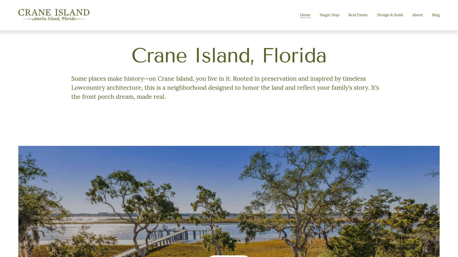
If the best part of your day is the water, we can help you live beside it. At Crane Island we offer homesites and move-in ready homes on Amelia Island with direct Intracoastal access, in a private, preserved community with a limited number of homesites available. You get a short run to the marinas and the inlet, and a porch to come home to.
Financing a waterfront property takes planning, and our friends at Lending Bankers share useful guidance on buying a luxury home in Florida. Current pricing details are on our website. To learn more, explore The Crane Island Portfolio Homes Program, or contact us to schedule a visit. We would love to walk the land with you.
FAQ
What is deepwater access on Amelia Island?
It means reaching the Atlantic from the island through the Intracoastal Waterway and St. Marys Inlet, usually from a marina or waterfront property. The inlet is about 3 to 5 miles from the main marinas. Confirm your draft against current depths before you go.
Are there gators on Amelia Island?
Yes, in freshwater marshes and ponds, but they are not a regular concern at the oceanfront. Alligators do not tolerate saltwater for extended periods. Keep your distance and never feed them.
What famous people live on Amelia Island?
The island has long drawn private, high-profile residents who value Southern charm and quiet. Its appeal as an oceanfront retreat with porch living is well documented. Privacy is part of the draw, so we do not name individuals.
Where can I launch a boat on Amelia Island?
The Dee Dee Bartels boat ramp on the north end serves trailered boats and kayaks. A public ramp also sits near Fernandina Harbor Marina. Both work best when you time your launch with the tide.